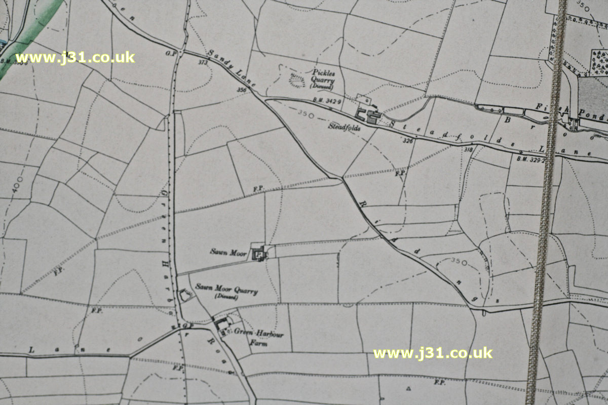
This is a map of Thurcroft in 1905. It’s taken from a map of the watershed of Ulley Reservoir by Rotherham council. The green line top left denotes Ulley ponds’ watershed – all waters to the left flow to Ulley. Thurcroft really didn’t exist in its present form in 1905, but some features can be seen, e.g. Green Harbour Farm, and Steadfolds lane. But the pit isn’t there (the shaft would be sunk in 1909) and neither are the hundreds of houses that would soon cover the fields north of Green Harbour Farm.